Copper Country Trail Byway Map
•A Highlight of America’s National Scenic Byway……………
A part of America’s Byway collection, both highways are included as part of the Copper Country Trail National Scenic Byway within the 47 mile stretch between Houghton and Copper Harbor. Learn more at: www.coppercountrytrail.org/
Brockway Circle Tour
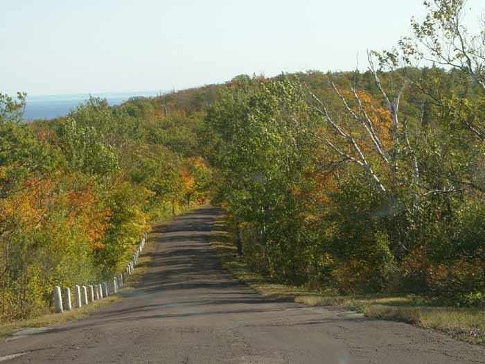
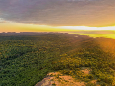
•Brockway Mountain Drive is a secondary road that is an offshoot of Hwy M-26. The recommended “circle” is to take Hwy M-26 (Lakeshore Drive) west from Copper Harbor and enjoy lake views. Stop and take in Lake Superior at Hebard Park. The park also offers a nice picnic and grilling area. Further along, stop at Esrey Park to picnic, pick rocks or use the restrooms. There is a large rock outcropping that provides some great views at the top. A bit further you will near the west entry for Brockway Mountain Drive. If you get to the Silver River Falls parking area you’ve gone too far, but it’s a good place to turn around and to enjoy a pretty waterfall. Heading up Brockway from this end is a steady uphill drive for about 7 miles. When you reach the top head to the right for parking and 360 views! There are restrooms here too. On the way down to Copper Harbor, the drive is about 3 miles and is hilly with steeper grades. There are several pull-offs to stop and grab some photos. When you near the bottom, there is what we call the “nose” or “first lookout” from town. It’s a must stop to view the town, the harbor and Lake Superior.
Schlatter Lake
•Boat Lauch
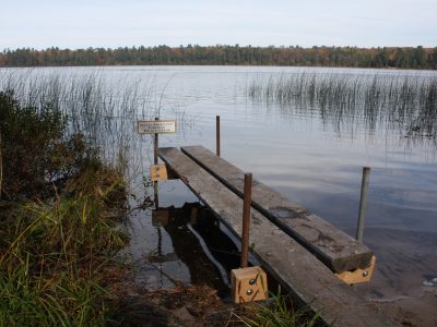
About eight miles east of Copper Harbor, on the State Forest land near the tip of the peninsula, boaters, anglers and paddlers will need a 4-wheel drive vehicle to access its remote locale or be willing to portage for several miles.
This uninhabited lake is great for its solitude, its fishing and is known for its island. Primitive camping is allowed on the lake’s shore, although a user permit, available for no fee, must be obtained from Ft. Wilkins State Park. Camping is prohibited on Schlatter’s Island, although day use is permitted.
Seasonal & Back Roads
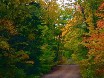
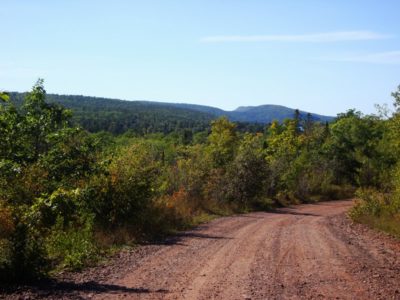
•For those of you who like to get off the “Beaten Path”, the area offers miles of dirt roads and seasonal roads. The seasonal roads are generally fine for any vehicle, although there are a few that are pretty rough. It is advisable to ask directions, get a map or both when venturing out into the woods.
To Copper Harbor We Go
•There are two routes leading to and from Copper Harbor. The Lake Superior shoreline along Michigan Highway 26 is an absolutely amazing alternate route to the peninsula’s main thoroughfare, US Highway 41. You will want to travel both these roadways as you explore the Keweenaw.
Highway M-26 – between Copper Harbor and Eagle River is also known as Lakeshore Drive. Lake Superior reigns as the prime attraction here. The drive is part of the Lake Superior Circle Tour and has been voted some of the best scenery of the tour.
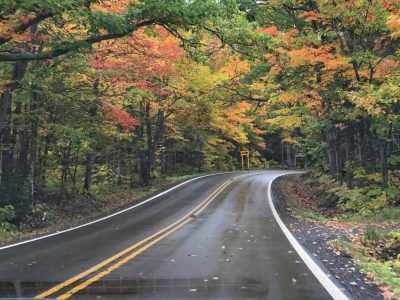
US Highway 41 – A Michigan Scenic Heritage Route – US-41’s northernmost eleven miles offers a drive through a tunnel of trees. Beautiful in any season – breathtaking in the fall. As you travel north on US-41 into Keweenaw County, you will see why this stretch has been designated a National Scenic Byway. It is the northernmost section of US-41, which stretches the length of the nation, from Florida to Copper Harbor.

