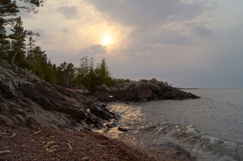
Lake Superior & Beaches
Lake Superior & Beaches
The big lake is the heartbeat and the breath of Copper Harbor, and we love her!
Lake Superior Stirs Up Magic
With a dramatic history involving an epic battle between fire and ice, Lake Superior came into existence over a billion years ago. Ultimately, the intense tug-of-war between volcanoes and glaciers eventually saw the Earth’s crust pull apart, causing land to collapse under the pressure of colossal molten basalt rock layers and form the sunken basin that would become Lake Superior. Learn more about the area’s Geoheritage & Geology.
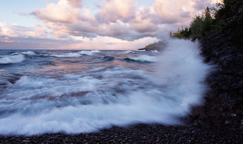
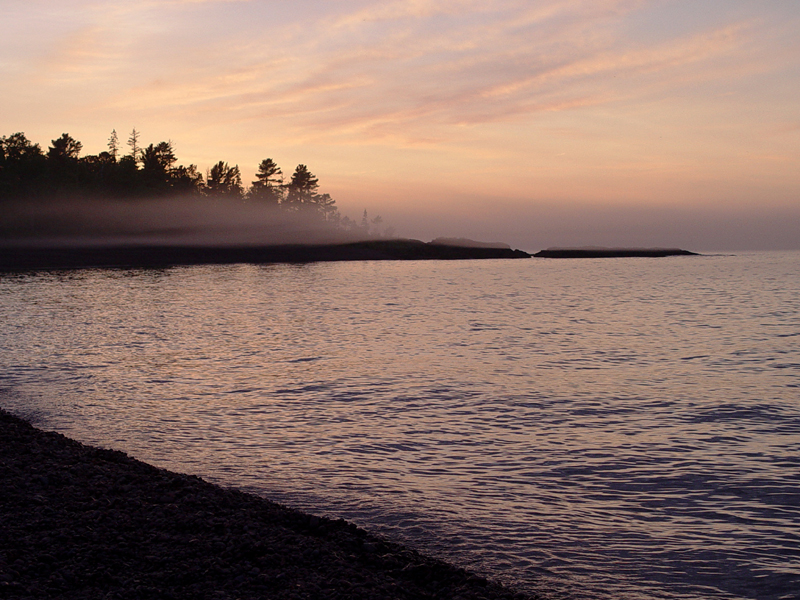
With such an intense history, it is little wonder why Mother Superior can be a bit “moody.” Have you ever heard the saying: “If you don’t like the weather, wait a minute?” Each day – or sometimes hour – the Lake’s status can shift and bring a different “mood” to the Harbor. Some fantastic storms coming off the massive inland sea can bring about dazzling lightning shows, awesome cloud formations, blinding fog or gale force winds. Not surprisingly, about 350 Shipwrecks have been found in Lake Superior. Yet, strikingly beautiful rainbows and water-as-still-as-glass can follow in the wake of a storm – as if it never happened.
Perfect Climate for Year-Round Recreation
Strategically located at the geographic center of this immense natural phenomenon, is Copper Harbor – Michigan’s northernmost town. Located on the tip of the Keweenaw Peninsula, Copper Harbor’s climate is dictated by its location surrounded by Lake Superior.
With an average temperature of 36°F, the lake is responsible for the unique “microclimate” in Copper Harbor, in which winters are tempered and summers are cooled. Typically temperatures do not stay lower than 15 degrees for very long, and rarely do they go beyond the 70’s. With such idyllic seasons, not to mention the natural beauty of both the water and woods, Copper Harbor is the perfect playground for year-round recreation adventuring. What’s more, during the summer days are long, averaging nearly 16-hours of sunlight, which makes for an abundance of time to enjoy one’s vacation to the fullest.
Superior Fun for Everyone!
If getting out on-the-water is on your vacation’s “to-do-list,” Copper Harbor is the place to be. Lake Superior’s average underwater visibility is nearly 30 feet, making it the cleanest and clearest of all the Great Lakes. Sea Kayaking & Canoeing, Boating, Fishing & Ice Fishing, scuba diving, swimming and even surfing on big wind days are all popular activities.
And if sticking to the shore, out-of-the-water is more up your alley, there’s still plenty Lake Superior provides – Rock Hounding, Hiking & Walking, freighter watching and Bird Watching, for instance. You also won’t have to get your feet wet to enjoy a classic Sunset Cruise on the Isle Royale Queen Ferry!
Did you know? Lake Superior contains more water than the other four Great Lakes combined and it is the largest freshwater lake in the WORLD by surface area. In fact, the big lake contains so much water that if it were to spill out the entire landmass of North and South America would be flooded in a whole foot of water!
Rock & Pebble Beaches
Horseshoe Harbor
•Level: Easy
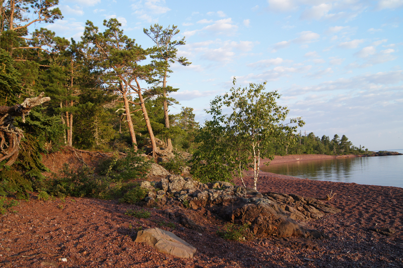
This preserve, protected by the Nature Conservancy, is a beautiful and geologically interesting area. It is a short walk through the woods emerging along the Lake Superior shoreline. Horseshoe is located a couple miles east of Copper Harbor on the same shoreline. There is a large basalt outcropping that allows a great vista for viewing Lake Superior. The woodland birds are abundant with many nesting warblers and other songbirds. Bald eagles are often seen soaring along the shoreline while Common Loons pass by. In the evenings, enjoy the Hermit Thrush whose beautiful song can be heard nightly in summer.
Learn More: Mary McDonald Preserve at Horseshoe Harbor
Hunter’s Point Park
•Level: Easy
An absolute favorite special spot in the area, Hunter’s Point is one of the few “flat” areas around and allows for an easy hike or snowshoe along both the Lake Superior and Harbor shores. There are 2 Trail-heads to Hunter’s Point Park. One is just left of the boat launch at the Copper Harbor Marina and the other is further west of the marina with signs leading the way down North Coast Shores Road, which will take you to a parking area and a handicap accessible viewing boardwalk.
Sand & Swimming Beaches
Bete Grise
•Bete Grise Bay, pronounced “Bay Deh Gree”, boasts a beautiful drive along the beach which dead ends at a channel with a view of the Mendota Lighthouse at the other side.The beach is sandy and is known for the “whispering sands”. Rub your hand over the sand and listen.
The Bete Gris South Preserve offers hiking, swimming and bird watching, It is located along the Gay-Lac La Belle Road. Learn more about the preserve at Keweenaw Land Trust


